The City offers a range of interactive and static maps to help you explore Prince George and find the information you need. Our main tool, PGMap, lets you view everything from administrative boundaries and civic infrastructure to zoning details and more.
You can also browse featured maps that highlight City services, traffic and parking information, recreation opportunities, and other community resources.
City information and services
Explore maps that show key City information.
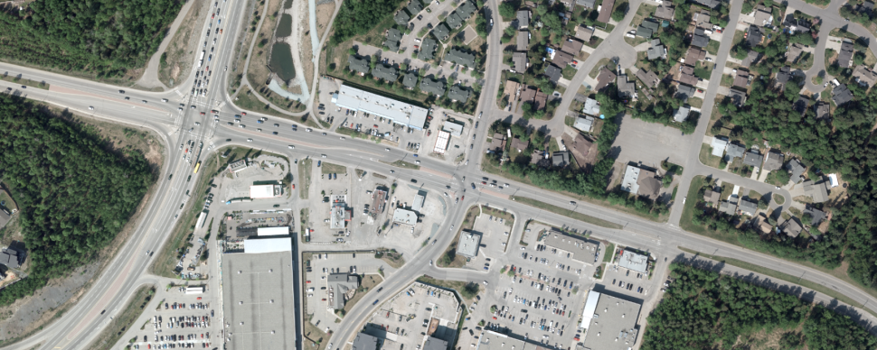
Traffic and parking
Find up‑to‑date maps on traffic disruptions, street information, and parking options.
Community recreation
Discover maps highlighting local recreation amenities.